Flood Zones and Bushfire Overlays: How to Check Property Risks Before Buying
Learn how to check flood zones and bushfire overlays in Australia. Understand planning certificates, BAL ratings, building costs, and home insurance impacts.
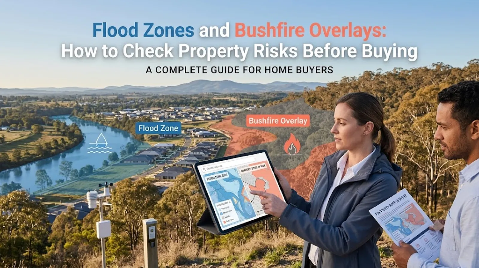
Purchasing a residential home, acreage, or investment block in Australia requires evaluating more than just floor plans, school catchments, and nearby transport links. Across metropolitan fringe areas and regional communities, natural hazard overlays—specifically flood planning levels and bushfire prone land designations—can dramatically restrict how you use land, alter architectural building requirements, and increase annual home insurance premiums.
Failing to identify these environmental overlays before exchanging contracts can result in major financial strain. Whether you are looking at a riverside property in Brisbane, an acreage lot in outer Melbourne, or a bushland-adjacent home in Sydney, discovering an overlay post-purchase can mean facing tens of thousands of dollars in mandatory construction compliance costs or even finding the property uninsurable.
Engaging an experienced conveyancer in Australia, land surveyor, or bushfire consultant in Australia prior to signing an unconditional contract allows you to thoroughly audit site-specific risks and make informed decisions.
Understanding Environmental Planning Overlays in Australia
Local councils and state government planning departments map environmental risks to protect communities and infrastructure. These risks are codified in statutory planning schemes using planning overlays.
-
Flood Planning Overlay (FPO): Identifies land subject to inundation from riverine flooding, overland flow paths, or storm surges. Controls govern minimum floor levels (Defined Flood Level + freeboard allowance) and structural building materials.
-
Bushfire Management Overlay (BMO) / Bushfire Prone Area (BPA): Designates land exposed to potential bushfire hazards. Triggers mandatory compliance under Australian Standard AS 3959 (Construction of buildings in bushfire-prone areas).
How to Check Property Risk Overlays: State Statutory Certificates
In Australia, vendors must disclose specific statutory planning information in pre-sale contract documentation. However, buyers should independently verify site mapping through official government portals.
1. Statutory Planning Certificates
During the legal conveyancing search process, your conveyancer requests official planning certificates from the local municipal council:
2. Free Government Interactive Mapping Portals
Before submitting an offer or attending an auction, prospective buyers can use free state GIS mapping platforms to run address searches:
-
NSW: NSW Planning Portal Spatial Viewer & NSW RFS Check if you are in a bushfire prone area tool.
-
VIC: VicPlan interactive mapping portal & MapShare VIC.
-
QLD: Queensland Globe & local council flood awareness maps (e.g., Brisbane City Council Flood Awareness Maps).
-
WA: Map of Bush Fire Prone Areas (SLIP / DFES portal).
Bushfire Attack Level (BAL) Ratings and Building Impact
If a property is located within a designated bushfire-prone zone, any new construction, major extension, or structural alteration requires a formal Bushfire Attack Level (BAL) assessment. The BAL rating measures potential exposure to ember attack, radiant heat, and direct flame contact.
Financial Impact of BAL Ratings on Construction
Building a house or extension in a high BAL zone adds substantial hard costs:
-
BAL-12.5 to BAL-29: Typically adds $10,000 to $35,000 in specialized materials (e.g., spark guards, toughened glass, ember-proof garage doors, non-combustible decking).
-
BAL-40 to BAL-FZ: Can add $50,000 to $120,000+ to construction budgets due to mandatory concrete or masonry construction, subfloor enclosing, automated metal window shutters, and dedicated static water supply tanks (SWS).
Flood Zones: Defined Flood Levels and Inundation Risks
Properties situated near rivers, coastal zones, or low-lying overland flow paths are subject to local government flood controls.
Key Flood Terminology Every Buyer Must Know
-
1% Annual Exceedance Probability (AEP): Often called the "1-in-100-year flood level," this represents a flood event that has a 1% chance of occurring in any given year.
-
Minimum Habitable Floor Level (MFL): Councils mandate that all living spaces must be built at or above the DFL plus a safety margin (freeboard), which is usually between 300mm and 500mm.
-
Overland Flow: Surface runoff water migrating toward drainage channels during extreme rainfall. It can affect elevated properties far from rivers.
Hidden Costs: Insurance Premiums and Resale Value
Beyond building compliance, hazard overlays directly affect ongoing home ownership expenses:
1. Insurance Premium Surges
Insurance underwriters use satellite data and historical flood models to set premiums.
-
A home situated within a recognized 1-in-100-year flood zone or an unmitigated high-risk flood path can face annual building and contents insurance quotes ranging from $4,000 to $15,000+ per year, compared to $1,200–$2,200 for low-risk homes.
-
In extreme flood or flame zone locations, some major insurers may decline coverage altogether, leaving mortgage applicants unable to satisfy lender requirements for final loan settlement.
2. Land Surveying and Professional Report Fees
Investigating site risk requires engaging specialized environmental trades:
Consumer Checklist for Checking Property Overlays
Use this practical step-by-step checklist before making an offer on a residential property:
-
[ ] Run an Interactive Map Search: Check free state planning maps (such as VicPlan or NSW Spatial Viewer) for BMO, BPA, or flood overlay designations.
-
[ ] Request Planning Certificates: Instruct your conveyancer in Australia to pull official council planning certificates (e.g., Section 10.7 in NSW) early in the due diligence process.
-
[ ] Obtain Insurance Quotes Before Exchange: Contact multiple insurance providers using the exact street address to verify policy availability and annual premium costs.
-
[ ] Check AHD Levels: For flood-prone land, hire a land surveyor in Australia to verify the property's Australian Height Datum (AHD) ground level against the council's minimum floor height requirements.
-
[ ] Engage an Accredited Assessor: For bushfire-prone land, hire an accredited bushfire consultant in Australia to determine the property's BAL rating prior to finalizing architectural plans.
Find Local Property Professionals and Surveyors on AusLocaly
Evaluating natural hazard overlays, navigating local council planning controls, and managing property risk requires qualified local expertise. AusLocaly connects buyers, home builders, and property investors directly with registered conveyancers, land surveyors, and building consultants across Australia.
Explore local professionals using the AusLocaly Categories directory. If you are researching property in major capital centers, view tailored trade and legal listings via AusLocaly Sydney, AusLocaly Melbourne, and AusLocaly Brisbane.
Visit AusLocaly to find local service providers, compare professional credentials, and access helpful resources for your next property transaction.
Related Topics & Tags
Sophie explores the relationship between local businesses and the people living around them. Her work covers neighbourhood retailers, hospitality venues and service providers. She is interested in the everyday reasons people choose local businesses. Her writing brings a community perspective to business discovery.